
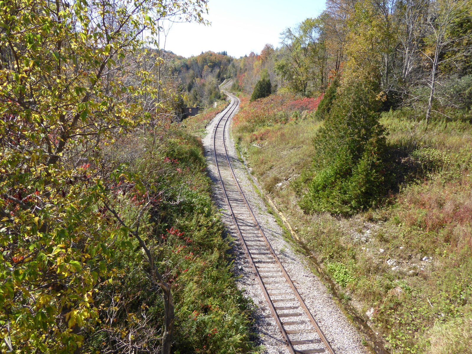
Located in Caledon along the edge of the Niagara Escarpment, Forks of the Credit Provincial Park is one of the most popular hiking destinations in Southern Ontario. Known for the rushing waters of Cataract Falls, steep glacial moraines, and historic mill ruins, the park offers extensive trail loops connecting directly into the Bruce Trail network.
Because Forks of the Credit is a non-operating, day-use-only park located less than an hour from the Greater Toronto Area, visitors must plan parking logistics carefully before arriving.
1. Quick Facts & Visitor Logistics
- Location: 17760 McLaren Road, Caledon, ON
- Managing Body: Ontario Parks (Day-use only; no camping)
- Permit Requirement: Mandatory advance Daily Vehicle Permit (DVP) reserved via Ontario Parks.
- Trail Network: ~20 km of interconnected paths, including sections of the Bruce Trail.
- Trail Difficulty: Easy to Strenuous (steep canyon stairs and rolling moraine hills).
- Gate Infrastructure: Automated barcode scanners at the entrance gates.
- Facilities: Vault toilets at the McLaren Road parking lot; no garbage receptacles (pack-it-in, pack-it-out).
- Dog Policy: Dogs are permitted on a strict 2-metre leash at all times.
2. Daily Vehicle Permits & Parking Access
Forks of the Credit operates under capacity controls to prevent overcrowding and roadside parking along McLaren Road.
- Mandatory Advance Reservations: Visitors must secure a Daily Vehicle Permit online up to 5 days in advance at 7:00 AM via the official reservation system. If you haven’t booked before, review our step-by-step guide to Ontario Parks daily vehicle permits to understand gate check-in and barcode scanning rules.
- Seasonal Permit Holders: If you carry an Annual, Summer, or Winter Ontario Parks pass, entry is covered at no extra charge, but you must still reserve your $0 day-use permit online to claim a guaranteed parking space.
- Entering the Gate: The park features automated boom gates. Have your confirmation email or digital barcode loaded on your smartphone before reaching the turn-off, as mobile signal can fluctuate in the Credit Valley basin.
3. Top Hiking Routes & Trail Highlights
Cataract Falls via the Meadow Trail & Bruce Trail (Moderate | ~5 km return)
The primary draw for first-time visitors is Cataract Falls, where the Credit River plunges through a deep gorge.
- Begin at the main McLaren Road trailhead following the Meadow Trail across rolling fields.
- Connect to the Bruce Trail and follow the gorge rim toward the falls viewing platform.
- Note: Due to severe slope erosion and sensitive historic stone structures, direct access to the base of the waterfall and old mill ruins is strictly prohibited. Obey all safety fences and view the gorge from the designated observation platform.
The Ruins Trail & Kettle Lake Loop (Moderate to Challenging | ~7 km)
For hikers seeking elevation and glacial geology, extend your route across the Ruins Trail down into the valley floor, then loop around the kettle lakes created during the retreat of the Wisconsin glacier.
- Expect steep, uneven climbs with rock steps and exposed tree roots.
- Sturdy hiking footwear with solid traction is strongly recommended, especially after rain when trail descents become slick.
4. Seasonal Considerations: Fall Colors & Winter Hiking
- Autumn Foliage: The high ridges of the Credit River Valley turn brilliant shades of red and gold from late September through mid-October. This is the park’s busiest window—vehicle permits for weekend time slots routinely sell out within minutes of opening 5 days in advance.
- Winter Outings: Forks of the Credit remains open year-round for snowshoeing, winter hiking, and cross-country skiing. Bring microspikes or crampons, as the wooden stairs down the gorge and icy moraine descents present slip hazards in sub-zero weather.
- Alternative Escarpment Parks: If permits for Forks of the Credit are booked full, head further north along the escarpment to explore the canyon trails at Mono Cliffs Provincial Park, or south toward Milton to hike Rattlesnake Point Conservation Area.
5. What to Pack
- Offline Trail Maps: Mobile reception drops inside the deep valley cuts. Download your offline route via AllTrails or the Bruce Trail app before arriving.
- Plenty of Water: There are no potable water refill taps along the trails or in the parking lot.
- Waste Bags: As a non-operating park, no trash bins are available along the routes or in the parking lot. Carry out all trash, pet waste, and food wrappers.